A Level Geology OCR

This subject is broken down into 40 topics in 7 modules:

  1. Development of Practical Skills in Geology 7 topics
  2. Foundations in Geology 6 topics
  3. Global Tectonics 6 topics
  4. Interpreting the Past 3 topics
  5. Petrology and Economic Geology 7 topics
  6. Geohazards 5 topics
  7. Basin Analysis 6 topics
Study this subject in the Adapt App →
  • 7
    modules
  • 40
    topics
  • 15,884
    words of revision content
  • 2+
    hours of audio lessons

This page was last modified on 28 September 2024.

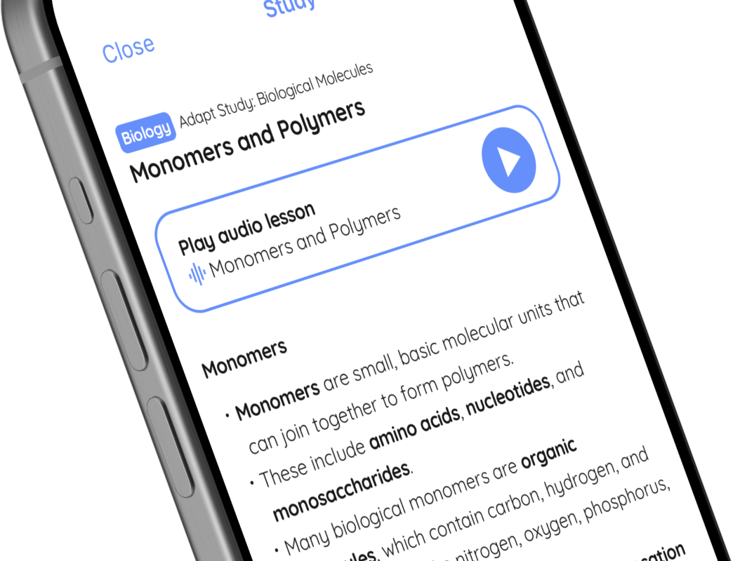
A preview of A Level Geology OCR in the Adapt app

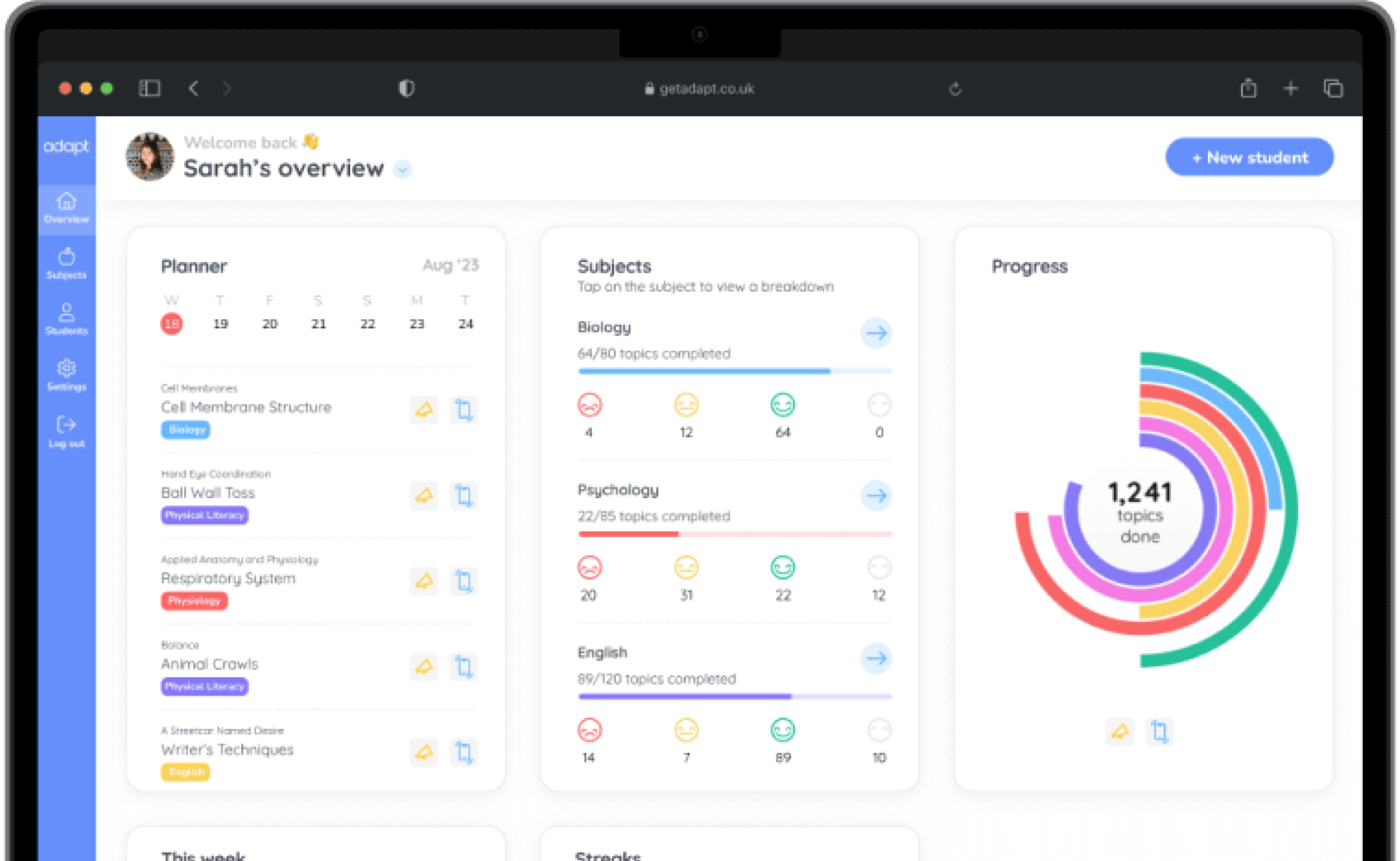
Adapt is a revision planning app with full content coverage and unlimited past paper questions for 1,200+ GCSE and A Level subjects.

Study this subject in the Adapt app →

Geology

Development of Practical Skills in Geology

Planning

🤓 Study

📖 Quiz

Play audio lesson

Planning

Defining the Aim

  • Clearly articulate the aim of the investigation. This should include what you hope to discover or confirm.
  • The aim should reflect a geological concept, problem or phenomenon.
  • Make the aim specific to ensure a focused approach throughout the investigation.

Formulating a Hypothesis

  • A hypothesis can be derived from the aim. It is a clear, testable prediction that can be proved or disproved by the investigation.
  • It should be based on previous geological knowledge, research or observations.
  • Consider potential cause-effect relationships in formulating the hypothesis.

Setting Objectives

  • Identify objectives that will help achieve the aim. They should be specific, measurable, achievable, relevant, and time-bound (SMART).
  • Objectives should lead to tangible outcomes, such as data collection, data analysis, or reaching a conclusion.
  • Clarify how each objective will contribute to the verification of the hypothesis.

Deciding on Methodology

  • Identify methods for data collection. Make choices based on the requirements, available tools, and feasibility.
  • Choose methods that will yield reliable and valid results.
  • Specify each method in detail to ensure clarity of the process and allow for replication.

Identifying and Managing Risks

  • Highlight any potential risks in the practical work. Consider all stages of the investigation from transportation to the site, data collection, to handling of geological samples or tools.
  • Specify measures to mitigate these risks, including wearing appropriate personal protection equipment (PPE) or following specific safety guidelines.
  • Keep a record of all potential risks and mitigation measures to ensure personal and others' safety.

Equipment & Supplies

  • Clearly list all equipment and supplies needed for the investigation. This includes anything from data collection tools, geological measurement instruments, to notebooks and pens.
  • Remember to also take into account any necessary fieldwork clothing like boots, rain gear, or hats depending on your investigation location and weather conditions.

Sample Collection

  • Plan out your sample collection strategy. Make sure to collect enough samples for valid measurements and to handle possible loss or contamination.
  • Keep track of the location of each sample. Use mapping apps, GPS devices or traditional maps and compasses.
  • Label samples properly to avoid any mix-ups or incorrect identification later.

Time Management

  • Develop a realistic timeframe for the investigation, taking into consideration both the data collection and analysis stages.
  • Remember to include a buffer for unexpected delays in the field, data collection or analysis stages.
  • Have a backup plan in case of equipment failure, weather issues, or other unforeseen problems.

While working on each section in your plan - aim, hypothesis, objectives, methodology, risks, equipment & supplies, sample collection and time management - remember to keep the focus on the geological context and your specific aims and objectives. With a clear and detailed plan, the practical investigations should run more smoothly, ensuring success in your geology practical skill development.

Course material for Geology, module Development of Practical Skills in Geology, topic Planning

Geology

Interpreting the Past

Surface Processes and Products

🤓 Study

📖 Quiz

Play audio lesson

Surface Processes and Products

Surface Processes and Products

Weathering

  • Understand the key concept: weathering refers to the breakdown of rocks in place, without removal of the products
  • Identify different types of weathering, these include physical weathering (also known as mechanical weathering), chemical weathering, and biological weathering
  • Be familiar with factors that influence the rate of weathering, such as rock type, climate, and topography
  • Be able to describe the processes and outcomes of weathering, like the formation of clasts, soil, and regolith

Mass Wasting

  • Understand the term mass wasting, which refers to the downslope movement of soil and rock material under the force of gravity
  • Recognize the different mechanisms of mass wasting, including slides, falls, flows, and creeps
  • Note the factors that influence mass wasting events, like slope gradient, water content, and vegetation cover
  • Recognize that mass wasting processes can lead to specific landforms such as talc slopes

Erosion and Transportation

  • Learn that erosion is the removal of weathered material from its source area by agents like water, ice, or wind
  • Understand the different modes of sediment transportation, including saltation, suspension, and traction
  • Know the key principle of sediment transportation and deposition: the size and amount of sediment that can be transported is largely determined by the energy of the transporting agent
  • Get to grips with how different processes of erosion alter the landscape, such as the formation of valleys, cliffs, and dunes

Deposition

  • Become familiar with the concept of deposition, it is when the energy of the transporting medium is insufficient to carry the sediment load and it is dropped
  • Understand the key factors influencing sediment deposition, like the velocity of the transport medium
  • Recognize the use of stratigraphy in interpreting past depositional environments
  • Comprehend how the process of deposition leads to the creation of certain geological features such as floodplains, beaches, and deltas

Always attempt to connect your understanding of these processes with the geological record and possible interpretation of past environments. This will aid in tackling questions about interpreting the past during assessments.

Course material for Geology, module Interpreting the Past, topic Surface Processes and Products

Can I trust Adapt’s expertise?

Adapt is already used by over 600,000 students and trusted by over 3,000 schools. Our exam-specific content and assessments are meticulously crafted by expert teachers and examiners.

Find out more about the Adapt app →

Planner

An always up-to-date revision timetable.

A personalised, flexible revision timetable that stays up-to-date automatically.

Content

All the exam resources, in one place.

Over 20,000 topics broken down into manageable lessons with teacher-written, exam-specific lessons.

Assessment

Past-paper questions, with instant feedback.

Unlimited past paper questions with instant examiner feedback on how to improve.

Progress

Track progress, together.

Progress tracking to stay motivated, with real-time updates to the Parent Portal.

Download the app today to start revising for free.