Pre-U Geography CAIE

This subject is broken down into 23 topics in 4 modules:

  1. Global Environments 6 topics
  2. Global Themes 6 topics
  3. Local Places and Sites 5 topics
  4. Global Development (Case Study Paper) 6 topics
Study this subject in the Adapt App →
  • 4
    modules
  • 23
    topics
  • 8,985
    words of revision content
  • 1+
    hours of audio lessons

This page was last modified on 28 September 2024.

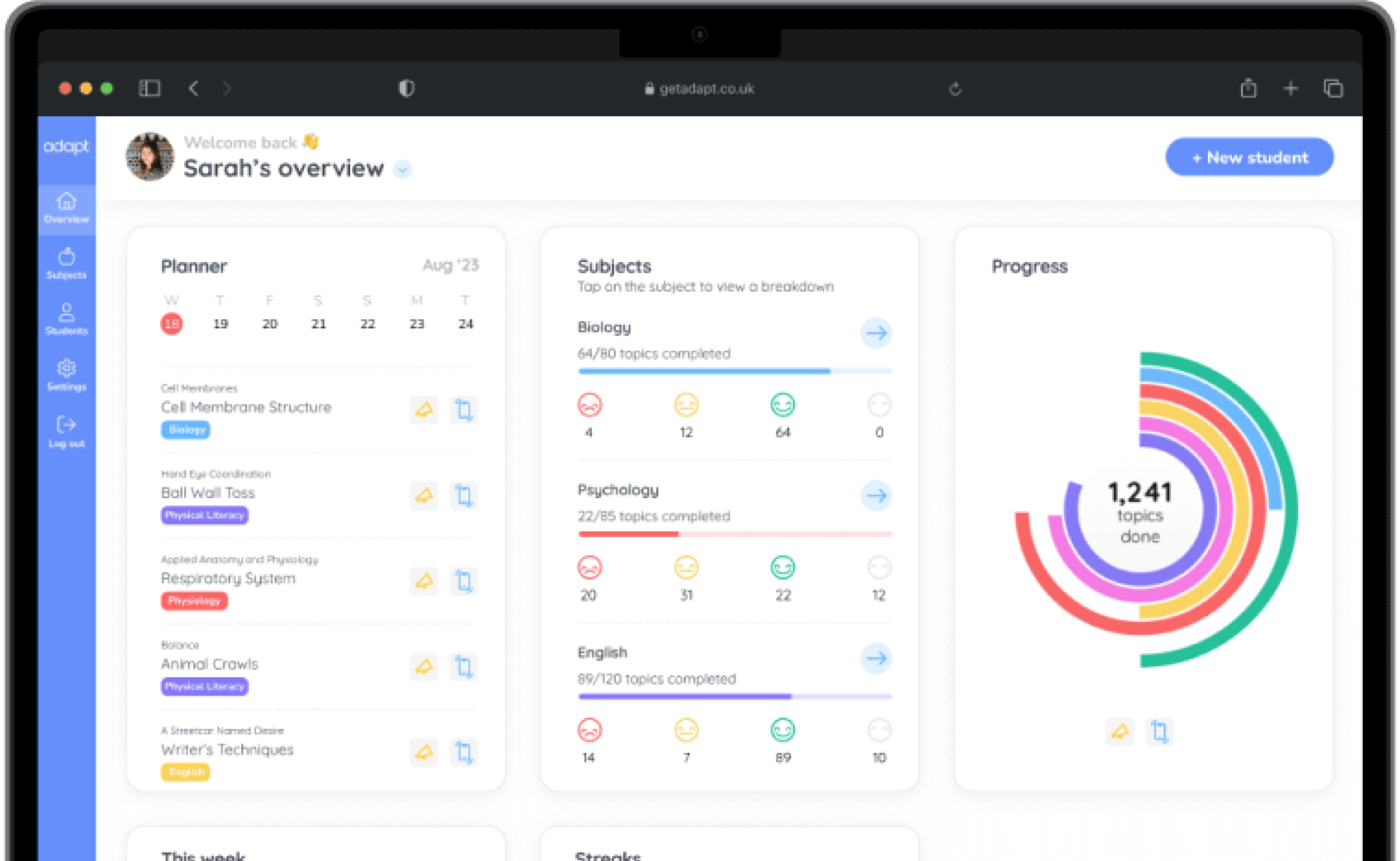
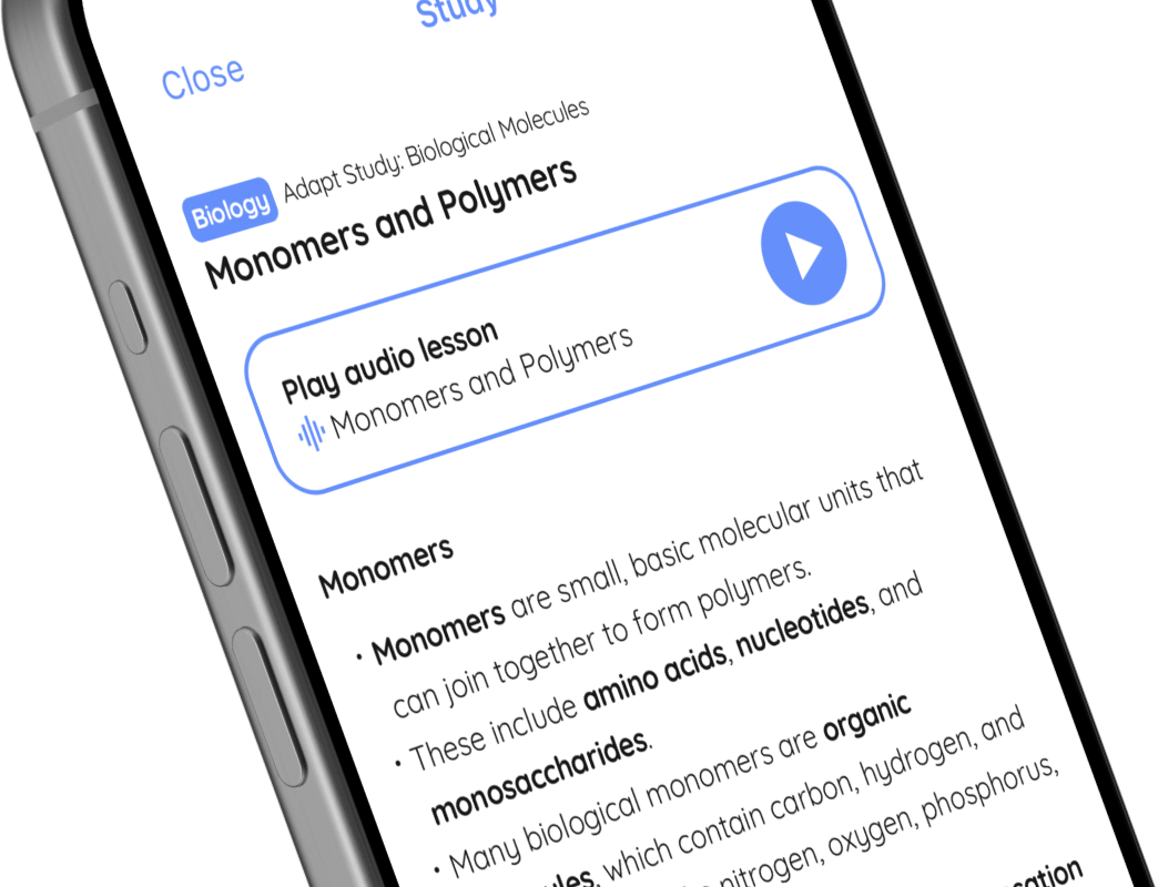
A preview of Pre-U Geography CAIE in the Adapt app

Adapt is a revision planning app with full content coverage and unlimited past paper questions for 1,200+ GCSE and A Level subjects.

Study this subject in the Adapt app →

Geography

Global Environments

Tectonic processes and hazards

🤓 Study

📖 Quiz

Play audio lesson

Tectonic processes and hazards

Tectonic Processes

  • The Earth's crust is divided into large pieces called tectonic plates. These plates float on the semi-fluid layer of the mantle beneath.
  • The movement of these tectonic plates is primarily powered by convection currents within the Earth's mantle, caused by heat from the planet's core.
  • Where the tectonic plates meet are known as plate boundaries. There are three main types of plate boundaries: divergent, convergent and transform.
  • Divergent boundaries are where two plates are moving away from each other, which allows magma to rise and create new crust. This often occurs under the sea, creating mid-ocean ridges.
  • Convergent boundaries are where two plates are moving towards each other. If this involves two oceanic plates, one is usually forced under the other in a process known as subduction. This subduction can create deep sea trenches and trigger earthquakes.
  • When a continental and an oceanic plate collide, the denser oceanic plate is subducted beneath the lighter continental plate. This process may lead to the formation of volcanoes and mountain ranges.
  • Transform boundaries are where two plates are sliding past each other. This is associated with the creation of fault lines and can lead to strong earthquakes.

Tectonic Hazards

  • Tectonic hazards include volcanoes, earthquakes and tsunamis. These are primarily caused by movements of tectonic plates.
  • Volcanoes are typically found at divergent and convergent plate boundaries. They're formed when there's a buildup of pressure caused by rising magma.
  • Volcanic eruptions can cause hazards such as lava flows, ash fall, pyroclastic flows, and volcanic gases that can have devastating impacts on human and natural environments.
  • Earthquakes occur when stress accumulated along a fault line is abruptly released. This release of energy sends seismic waves through the Earth's crust, causing the shaking we feel.
  • Earthquakes can cause a variety of hazards including ground shaking, surface rupture, landslides, and tsunamis. Major earthquakes can cause significant damage to buildings and other structures, and can lead to loss of life.
  • Tsunamis are typically caused by undersea earthquakes at tectonic plate boundaries. The earthquake's epicentre displaces the sea bed, which subsequently displaces water, creating a series of waves that travel across the ocean.
  • When these tsunami waves reach the shallow waters of coastal zones, they can increase in height and cause severe damage to coastal communities.

Remember: Understanding the processes behind tectonic hazards is key to managing and reducing their impact. By studying geography, we can help to mitigate the risks associated with these potentially devastating natural phenomena.

Course material for Geography, module Global Environments, topic Tectonic processes and hazards

Geography

Local Places and Sites

Flood risk (river or coastal)

🤓 Study

📖 Quiz

Play audio lesson

Flood risk (river or coastal)

Understanding Flood Risk

  • Flood risk refers to the combination of the probability of a flood event and the potential consequence of that event.
  • It is determined by a combination of factors, including rainfall, existing drainage systems, the presence of bodies of water (rivers, lakes, seas), and the level of human activity.

Types of Flooding

  • River flooding typically occurs when excessive rainfall over an extended period causes a river to overflow its banks.
  • Coastal flooding is usually caused by a combination of sea tidal surges, high winds, and increased rainfall.

Role of Drainage Basins

  • Drainage basins play a pivotal role in managing flood risk; they catch precipitation and channel it into a water body, such as a river or stream.
  • Topography, soil type, vegetation and the level of urbanisation within a drainage basin can significantly affect its ability to manage water flow and hence flood risk.

Impact of Urbanisation

  • Urbanisation can increase flood risk due to the removal of vegetation and the creation of impermeable surfaces which prevent water absorption, leading to rapid surface runoff.
  • Towns and cities often have surface drainage systems, but these can become overwhelmed in high rainfall events leading to flash flooding.

Importance of Flood Management

  • Flood management strategies can mitigate flood risk; these can include hard engineering solutions like building flood barriers, as well as soft engineering approaches such as floodplain zoning and river restoration.
  • Each approach comes with its own costs and benefits that need to be assessed based on effectiveness, economic viability, and environmental impact.

Studying Flood Risk in Specific Locations

  • When examining flood risk in specific localities, factors such as local climate, geography, degree of urbanisation, and existing flood management infrastructure should be considered.
  • Viewing historical flood data alongside climate change projections can also provide valuable insight into potential future risk.
  • Assessing local practices towards community preparedness, response and recovery is also key to understanding how well a community can mitigate and manage flood risk.

Course material for Geography, module Local Places and Sites, topic Flood risk (river or coastal)

Can I trust Adapt’s expertise?

Adapt is already used by over 600,000 students and trusted by over 3,000 schools. Our exam-specific content and assessments are meticulously crafted by expert teachers and examiners.

Find out more about the Adapt app →

Planner

An always up-to-date revision timetable.

A personalised, flexible revision timetable that stays up-to-date automatically.

Content

All the exam resources, in one place.

Over 20,000 topics broken down into manageable lessons with teacher-written, exam-specific lessons.

Assessment

Past-paper questions, with instant feedback.

Unlimited past paper questions with instant examiner feedback on how to improve.

Progress

Track progress, together.

Progress tracking to stay motivated, with real-time updates to the Parent Portal.

Download the app today to start revising for free.